
Aviation
Showcase flights with map and instrument overlays.
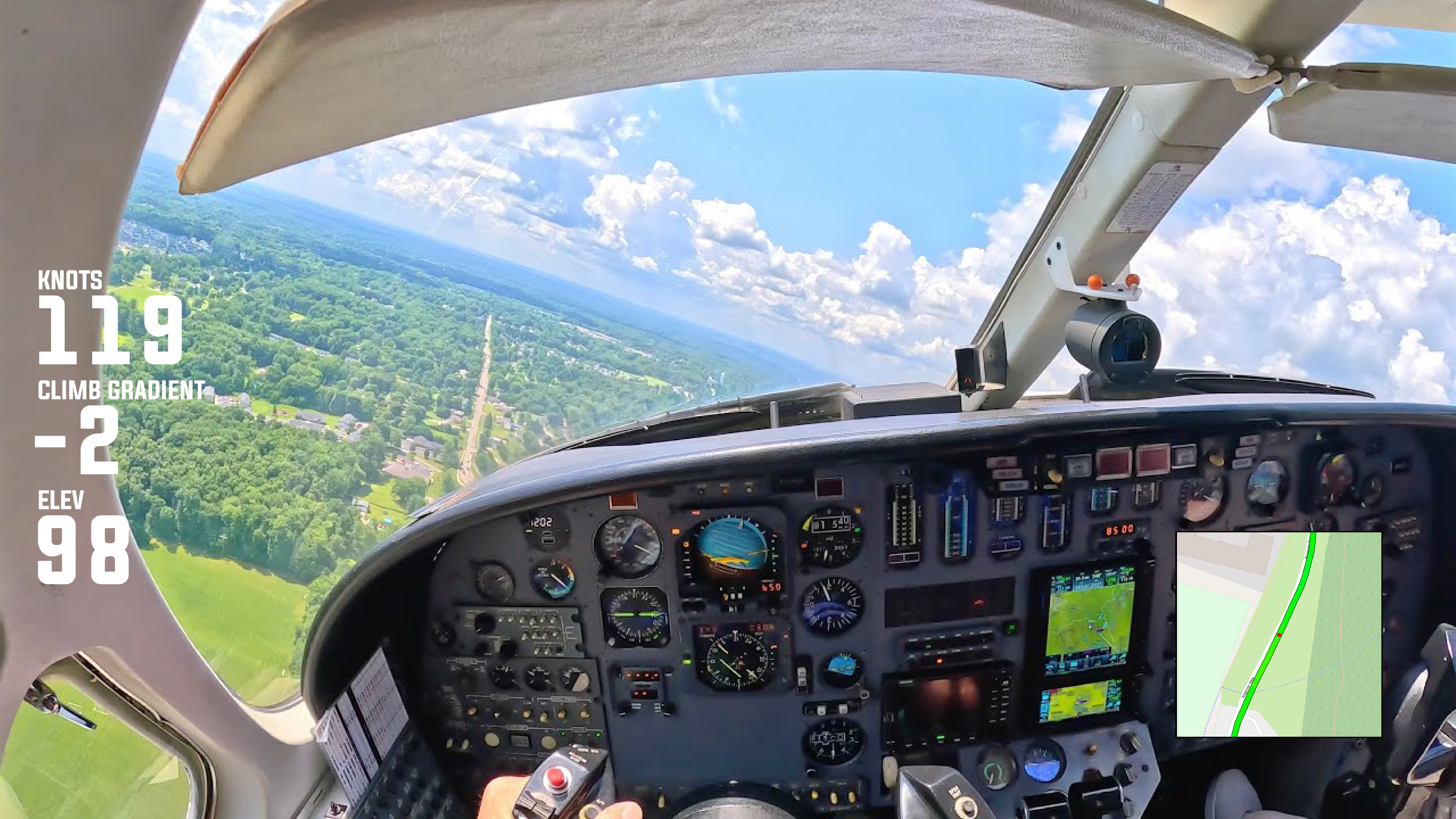
Bring your flights to life with Vectora’s powerful aviation visualization tools. Display detailed flight metrics including altitude, speed, heading, vertical speed and G-forces, all over interactive maps and instrument overlays. Ideal for private pilots, aerobatic pilots, flight instructors and aviation influencers, Vectora helps you turn raw flight data into engaging, shareable videos. Highlight key maneuvers, analyze performance and give viewers a cockpit-style perspective that makes every flight exciting and easy to follow.
Vectora works entirely in your browser with no downloads required, allowing you to create professional aviation videos with customizable gauges, route maps, elevation profiles and telemetry overlays. Perfect for showcasing recreational flights, aerobatic performances or flight training sessions, Vectora helps you tell your flight story with precision and style. Share your journeys, entertain your audience and inspire the aviation community with stunning visual content.