
Drones
Combine drone footage with rich telemetry overlays.
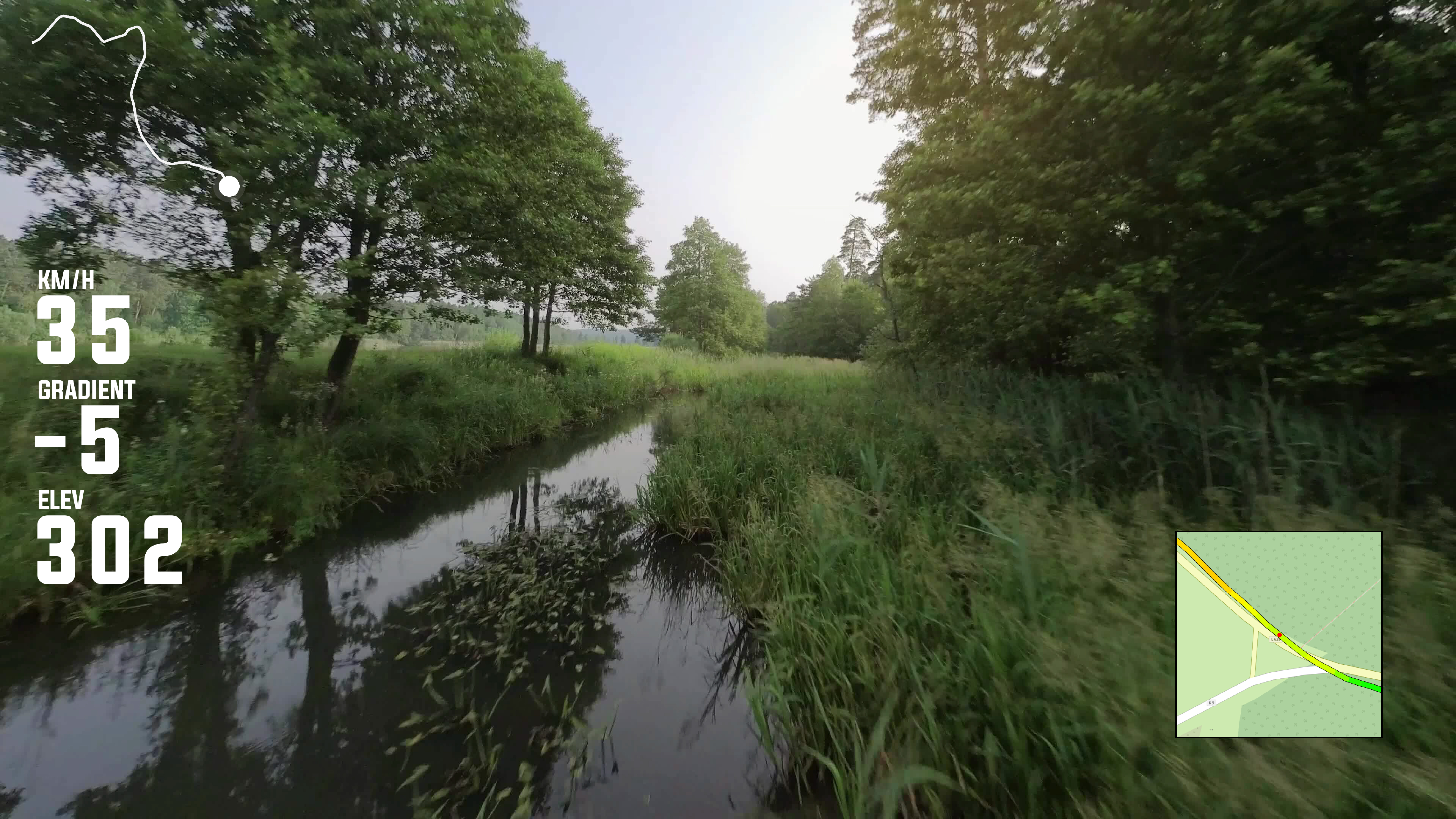
Curious how your drone flights really perform? Capture every detail with telemetry overlays that track speed, altitude, heading, and G-forces, all synced to your aerial footage. Highlight key maneuvers, cinematic shots, or complex flight paths with dynamic gauges and interactive maps that make your flights easy to review and share.
Analyze your flights with elevation profiles, route tracking, and segment analytics. Whether you are performing aerial photography, racing drones, or experimenting with freestyle maneuvers, these tools provide clear visual insight into performance. Segment overlays and customizable maps allow you to focus on critical parts of your flight, giving precise data for every move.
Turn raw drone footage into professional, shareable videos that engage your audience and showcase your skills. Telemetry overlays, speed and altitude gauges, and route maps make it simple to communicate performance, highlight complex maneuvers, and create visually compelling content. Every flight can be explored in detail, making it ideal for enthusiasts, content creators, or competitive drone pilots.